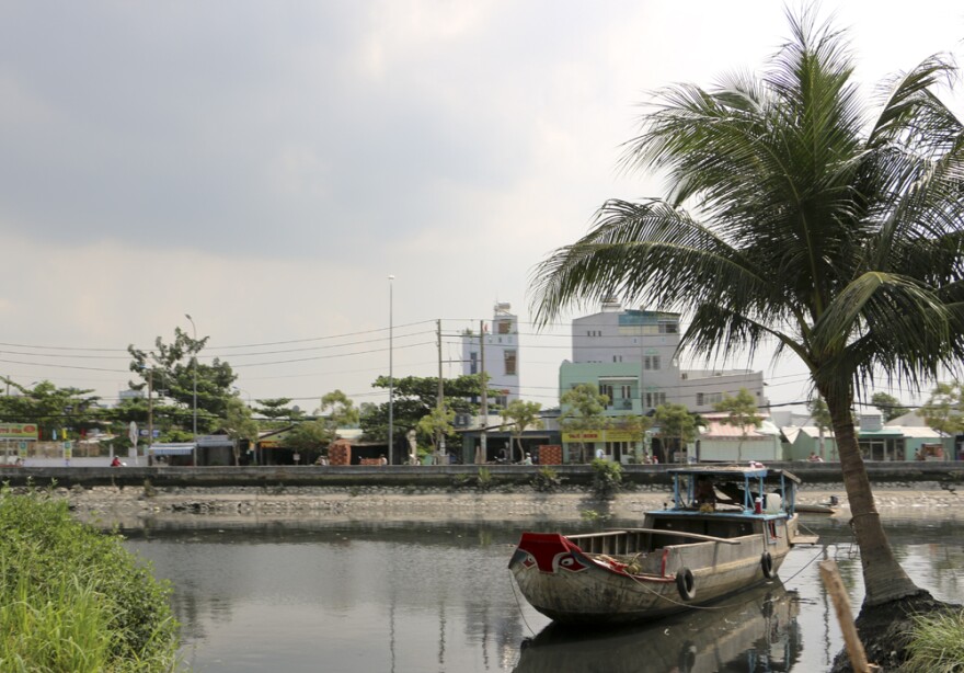
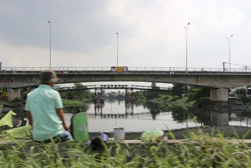
Vietnam’s Ho Chi Minh City, also known as Saigon, has become an Asian mega-city. And it’s surrounded and defined by water. Districts here are often separated by bridges, crossing one of the many rivers that run through the city on their way to the Mekong Delta. It’s a bustling place, as you’d expect with eight million or so residents (and growing). Rush hour brings an onslaught of motorbikes and cars, flowing like their own river through the city.

Imagine millions of those motorbike riders waking up to one or two feet of water flooding their neighborhood. They’re stuck. Can’t get to work. Can’t get the kids to school. Can’t do the day’s shopping or errands. It happens often during the six months of rainy season. In some part of the city it’s due to tidal flooding, something we don’t experience so much of (yet) in South Louisiana. But in other areas it’s simply too much rain, too fast, for the city’s drainage system to handle. That will sound familiar to New Orleanians. As weather patterns change, Saigon is getting more rain, and heavier rain. And as Vietnam’s coastline faces saltwater intrusion, the sea to the south of the city is creeping closer, too, posing more risk from flooding and storms.

We’re here in Vietnam thanks to the Solutions Journalism Network Story Fund, to look at how officials, experts and local people are planning and adapting for future flooding and water management.
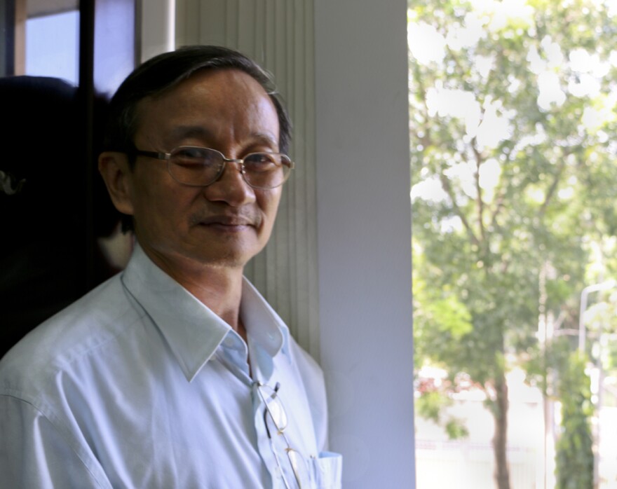
For our first week we’re focused on Ho Chi Minh City. Dr. Phi directs an innovative interdisciplinary center for Water and Climate Change here. He talked about the need to consider what he calls social hydrology first. The finest technical plans, and even the money to finance them, he says, are wasted if those plans don’t fit with the lives of the people in the city. And in a city like Ho Chi Minh, space is at a premium. Build a tall, sturdy floodwall, he says, and residents will move into the area surrounding it, even if you tell them that, over time, that area is more prone to flooding if the river overtops the wall.
His solution? A combination of individual household, community and larger efforts to create a more dynamic and adaptable system. More rainwater collection barrels, more community communication about the risks of living or doing business in flood-prone areas, and more centralized government planning that keeps green space undeveloped, to leave room for water to flood and absorb it.

A morning in the Sixth District of Saigon leads us to residents investing their own time and money to adapt to local flooding. In an alley numbered 162, many households have paid workers to add a layer of brick and cement to the floors of their homes. They park their motorbikes in the front room. When it floods, they take a bicycle for the day. Most have a second floor to the house, so they have a retreat if water gets into the home.
A local woman, Hoa, shows us how high the last flood got.
The family with the highest raised home added a 5-foot layer and new steps. We meet the father of the household, a mechanic. His son says people in the neighborhood know his dad likes to do things big. So no one was surprised when the house got raised so high.
Saigon’s density and style of the homes is much different than any American city, including New Orleans, but the result is similar in some ways to what we’ve seen since Hurricane Katrina. People adapt their housing in the way they choose, assessing and responding to risk on their own. One house may be raised, while the home next door rebuilt just as it was before the storm.
Jesse Hardman and our (amazing!) local fixer Tuan interview a resident of the Sixth District who moved to Saigon from the Mekong Delta. In his rural home, we asked, what would he do when it flooded. His answer: "Go fishing."

Late one afternoon we meet Duc, a sometime journalist and public commentator, who lives in a more suburban area toward the edge of Saigon. From his highrise apartment on the 22nd floor, he points to areas that flood, and to a highway that used to be a canal. The canal provided relief, a place for water to go in heavy rains or tidal floods. The highway spills water into the neighborhoods. A recent hospital stay found flooding in his room there, he says. Duc dreams of “My Mayor,” a city planner with a vision that includes better water management.


Directly south of Saigon we visit the Can Gio mangrove preserve, for a look at the natural protections the city aims to preserve for storm protection. This forest of slender trees, their roots sticking up from the mud, serve a similar role to our marsh grasses and cypress swamp, in that they can slow down offshore storms (not yet common here, but expected to worsen). A research center devoted to the mangrove began after the Vietnam War (here called the American War), when the forest was destroyed by chemical weapons, including Agent Orange. The Can Gio forest grew back in about 20 years, not the 100 years expected, and this provides some insight for the expected rate that mangroves in other coastal areas can be replanted or preserved. However, with saltwater intrusion, mangroves closer to the coast may not be a workable solution, as they cannot survive the salt. A combination of hard infrastructure, like dykes and sea walls, and a “green belt” is what many here hope to achieve.

Today we head further into the Mekong Delta, where we will meet farmers making big decisions about adaptation to the influx of saltwater, in conjunction with the government’s agendas for what to do with the land in their region. The big question here is: rice or shrimp? Asian aquaculture is of course much maligned by our Louisiana wild shrimp industry. We’ll be meeting many of the shrimp farmers who’ve switched to that enterprise from growing rice, as their land has become too salty for rice paddies. We’ll also meet those who live behind government-built gates to keep saltwater out, though some of the farmers dig wells to get saltwater, as they prefer the more lucrative (but more risky) business of growing shrimp.

Support for WWNO's Coastal Desk comes from the Walton Family Foundation, the Greater New Orleans Foundation, and the Kabacoff Family Foundation.


